The Developer's Guide to Land Surveying in North Georgia: What You Need, When You Need It

If you've worked on more than a handful of development projects, you know that surveying comes up at almost every stage, from initial due diligence through construction closeout. But not every survey is the same, and ordering the wrong one at the wrong time can cost you both money and schedule.
Here's a practical breakdown of the most common survey types used in North Georgia land development, and when each one belongs in your project timeline.
Boundary Survey
A boundary survey establishes the legal boundaries of a parcel based on recorded deeds, plats, and field measurements. It identifies corner monuments, encroachments, and any gaps or overlaps with adjacent properties.
When you need it: Before purchasing land, before subdividing a parcel, or when a boundary dispute needs to be resolved. A boundary survey is often the first document your civil engineer needs before any design work can begin.
Topographic Survey
A topographic survey maps the existing conditions of a site including grades, elevations, drainage patterns, trees, structures, utilities, and other physical features. It's the data layer your engineer uses to design grading, drainage, and utility systems.
When you need it: Early in the design process, before your civil engineer begins site design or subdivision layout. Inaccurate topo data is one of the leading causes of costly design revisions. Getting it right at the start protects your budget downstream.
ALTA/NSPS Land Title Survey
An ALTA survey is the most comprehensive survey type available. It combines boundary, topographic, and improvement data with a review of title documents to produce a single survey that satisfies the requirements of lenders, title companies, and attorneys involved in commercial real estate transactions.
When you need it: For commercial property acquisitions, refinancing, or any transaction where a lender or title insurer requires a survey. If your deal involves a lender, ask early whether an ALTA will be required. They take more time to complete than a standard boundary survey.
Construction Staking
Construction staking translates your engineer's design from paper to the field. A survey crew places physical stakes marking the location of buildings, utilities, roads, grading limits, and other improvements so contractors can build to the approved plans.
When you need it: Once permits are issued and construction is ready to begin. Accurate staking is essential. Misaligned utilities or building footprints can trigger costly corrections and delay inspections.
As-Built Survey
An as-built survey documents what was actually constructed in the field, as opposed to what was shown on the design plans. It's used for permit closeout, record documentation, and verifying that improvements were built to specification.
When you need it: At construction closeout, typically required by the local jurisdiction before a project receives final approval.
Working With a Surveyor Who Knows North Georgia
Survey requirements vary by county and project type. What Carroll County requires for a subdivision plat may differ from what Douglas or Paulding County expects. Working with a surveyor who has established relationships with local reviewing authorities saves time and reduces the risk of submittal delays.
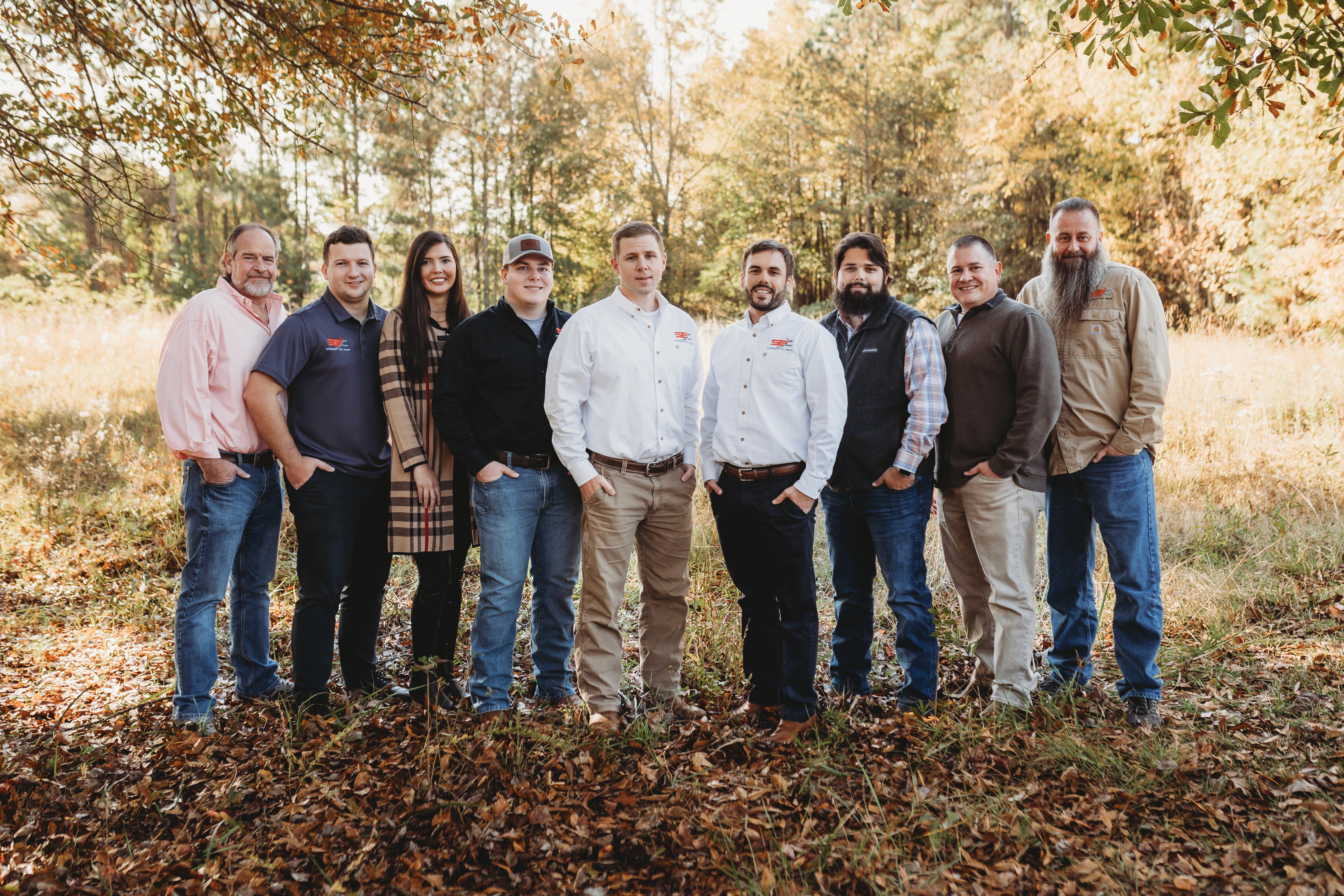
At Southeast Civil Group, our survey team has been working across Douglas, Carroll, Paulding, and Haralson counties since 2016. Adam Pearson, our Registered Land Surveyor and Partner, brings 25 years of field experience to every project, from small boundary surveys to complex ALTA assignments.
If you have a project coming up and aren't sure which survey you need or when to order it, reach out. We're happy to help you sequence it correctly from the start.